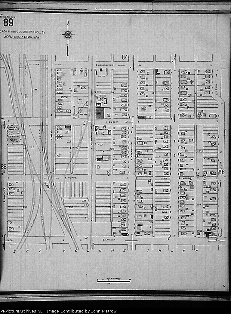
| Morris St used to cross all these tracks right where the tower was located. Group of four tracks in upper left is start of elevated track. Former KCM&O coming in from lower left used to cross the junction and go north on Mosley to connect to SLSF. |
| Date:
1/1/1935 |
Location:
Wichita, KS Map  |
Views:
197 |
Collection Of:
  John Matrow
 |
|
Author: John Matrow
|
 |
| Picture Categories: |
This picture is part of album: Wichita Gilbert St. Crossing & S. Jct. |